Maps
How to interpret standard and unit-level maps inside Concept and Company profiles.
Updated over a week ago
Restaurantology profile pages include integrated maps that help visualize brand footprint and unit-level presence.
Standard maps
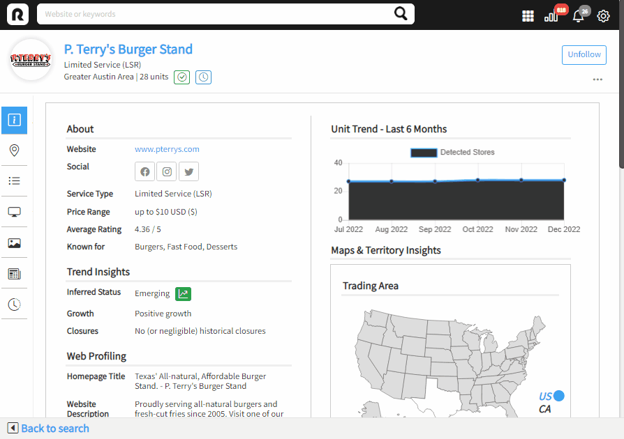
Every multi-unit Concept and Company profile includes a map representing the relevant trading area, defined as a geographic summary of confirmed unit presence. These maps display both a visual region and a state-by-state breakdown with unit counts.
Unit-level maps
As of release 2.5, Concept profiles now include embedded unit-level maps with dropped pins at known open unit addresses. Users can zoom to the street level to explore geographic context and local surroundings.
[!WARNING]
Street-level maps are a representation of the nearest matching latitude and longitude. This may result in images inside retail establishments, near (but not necessarily close) results, or incorrect images based on available geodata and map recency.